View a street's Facebook post (from the Pennydale Petition group!) by clicking on its label on the map.
*New* See a Pennydale map overlaid with 1945 aerial photography — using
Google
& OpenLayers imagery.
Look closely, you can see the real meaning of "cut & paste"! (Were you "on the map" in 1945?)
Thanks to: Melbourne 1945,
Roy Kennaugh @ University of Melbourne,
MapTiler Desktop.
Also, a chart of the first "south Bayside" sales of Crown Land (completed 1852), taken from the book
“Bayside Reflections” by Disney G. & Tarrant V. (1988),
overlaid on Google (white, black)
and OpenLayers (white, black).
View the (first) Facebook post on any Pennydale street or other landmark.
| Mirvac Estate |
Northern Area |
Main Roads |
|
| |
|
| Southern Area |
Eastern Area |
|
|
| Other Facebook Posts |
|
|
|
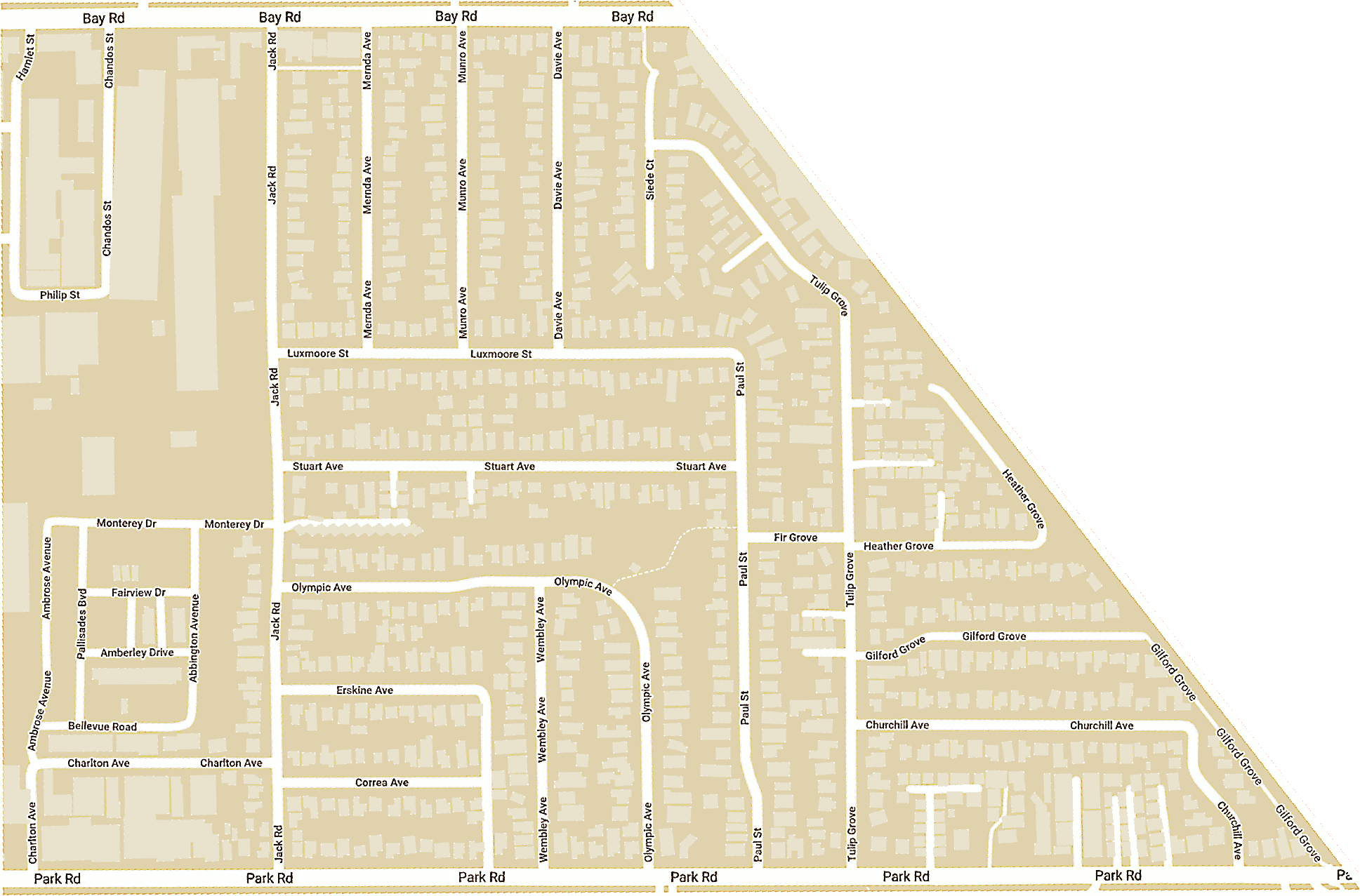 ⟸ Bay Rd
Bay Rd PO
Jack Rd
Park Rd
Davie Ave
Luxmoore St
Mernda Ave
Munro Ave
Siede Ct
Correa Ave
Erskine Ave
(Laneway)
Olympic Ave
Paul St
Stuart Ave
Wembley Ave
Churchill Ave
Crocus
Fir Gr
Gilford Gr
Heather Gr
Tulip Gr
Abbington Ave
Amberley
Ambrose Ave
Bellevue Rd
Charlton Ave
Fairview
Monterey Dr
M'tn
Pallisades Bvd
Wh'n
⟸ Bay Rd
Bay Rd PO
Jack Rd
Park Rd
Davie Ave
Luxmoore St
Mernda Ave
Munro Ave
Siede Ct
Correa Ave
Erskine Ave
(Laneway)
Olympic Ave
Paul St
Stuart Ave
Wembley Ave
Churchill Ave
Crocus
Fir Gr
Gilford Gr
Heather Gr
Tulip Gr
Abbington Ave
Amberley
Ambrose Ave
Bellevue Rd
Charlton Ave
Fairview
Monterey Dr
M'tn
Pallisades Bvd
Wh'n